Goldstream Provincial Park, Nov 2013
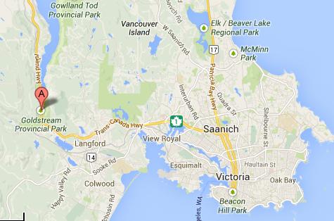
IntroWe are spending a few days in the vicinity of Victoria, BC. Today, I really felt like a walk in a forest, so Stephen suggested the Goldstream Provincial Park - it has quite a few trails. Stephen did some research and found that there was parking just across from Ma Miller's Pub - so that's where we parked. This shot from Google Maps shows basically where the park is.
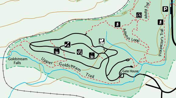
This shot is from the map provided by BC Parks. This excerpt is from the southernmost end of the park. Our targets were the Upper Goldstream Trail and the Arbutus Loop. Fortunately, this map was posted at key intersections along the trail, so it would be difficult to get too lost.
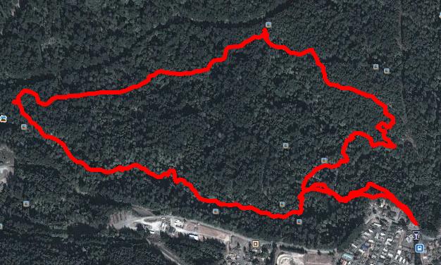
This shot shows the Google Earth view of our little hike. The trees are so thick that you cannot see the roads leading to the various campsites, of which there were many. The tree density also made it a bit difficult for the GPS to track accurately.
We walked just under 5 kms. |
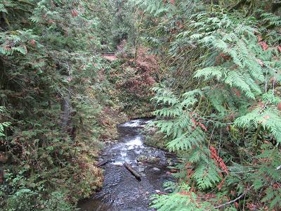
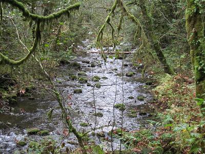
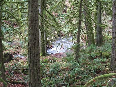
The trailHere are some pictures of the trail and the general scenery. First, a few shots of the creek that was close by.
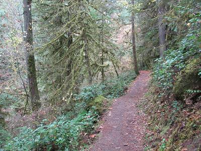
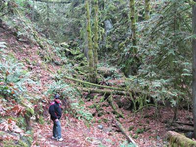
A couple of shots of the trail. Some of it was quite rocky, but most of it was like this.
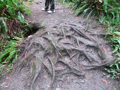
And then there were the really rooty bits!
|
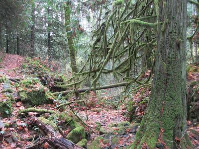
FloraWell, the term "flora" might be misleading. This is November, and we didn't see any flowers. But we did see a whole lot of greenery. And it didn't take us too long to realize that we were in a rain forest.
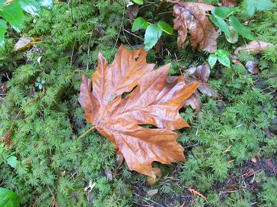
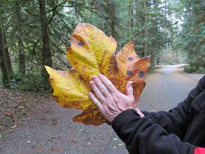
One thing that attracted my eye was the carpet of fallen maple leaves on which we trod. Calgary doesn't have a whole lot of that which is featured on the Canadian flag. But here in the Goldstream Park, one could really feel Canadian. And these leaves are HUGE!
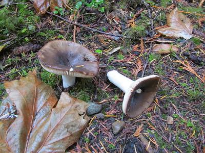
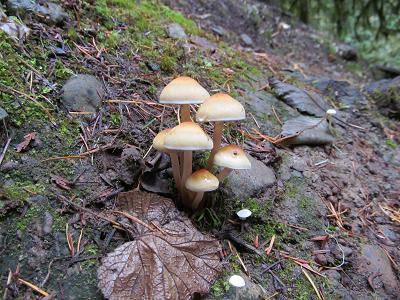
And the other thing that your typical Calgarian doesn't see at home is a mushroom. There were lots here.
|
| This was a really pleasant and relaxing hike, with one significant downhill stretch that my knees didn't like too much. |